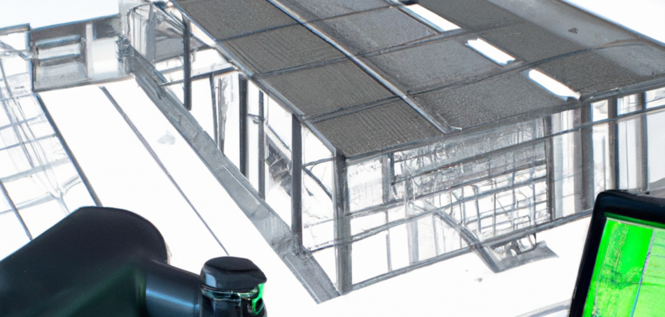
Terrestrial laser scanning (TLS) is increasingly used in various industries to create detailed 3D models of objects, buildings or landscapes. However, it is not yet possible to automatically generate 3D models from the collected 3D point clouds. Satisfactory AI-based approaches will only ensure a better transfer here in the next few years. In comparison, CAD models are "modelled" manually or imported from other 3D data sources.
Terrestrial laser scanning (TLS) data and CAD models are two different types of 3D data that are generated in different ways. Although they may look similar at first glance, there are differences in the accuracy, completeness and type of data that is captured. If you want to compare the two types of data, there are several ways to do it, depending on the application area and objective.
One way to compare TLS data and CAD models is to display them overlaid. Special software tools such as Navisworks or PolyWorks can be used for this purpose. These tools allow CAD models and TLS data to be displayed simultaneously and provide a quantitative means of clash detection to identify the differences and similarities between the two types of data. The user can then identify discrepancies and similarities based on the visual representation.
Another way to compare TLS data and CAD models is to import them into a web-based software tool specifically designed to visually compare 3D data. Such tools allow the user to visually identify discrepancies and matches between the two data sets and perform visual model checks. An example of such software is the cloud software FARO WebShare or FARO Sphere.
Overall, there are different ways to compare TLS data and CAD models, depending on the application and the objective of the comparison. A combination of visual and quantitative methods can help to check the quality of the TLS data and ensure that it is fit for purpose.

